
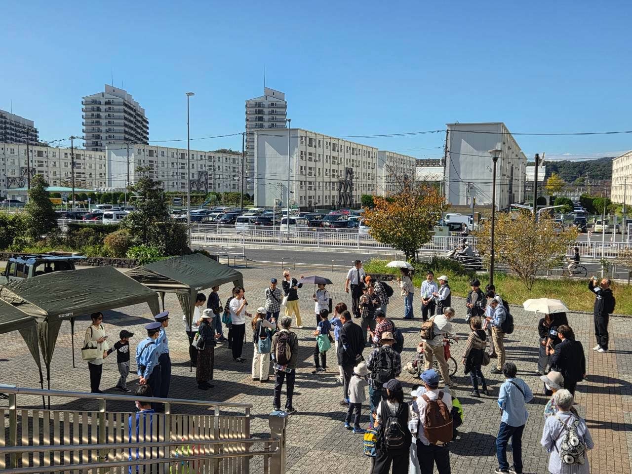
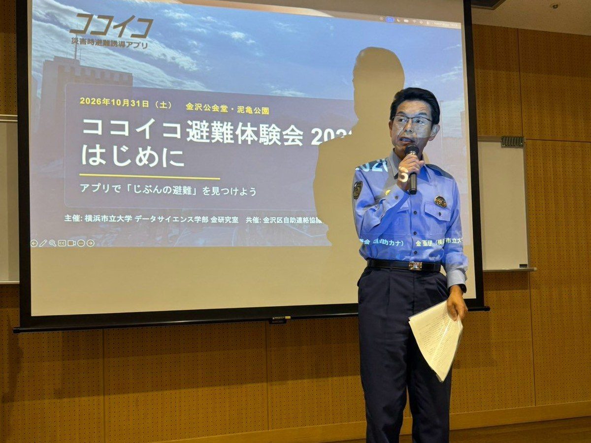
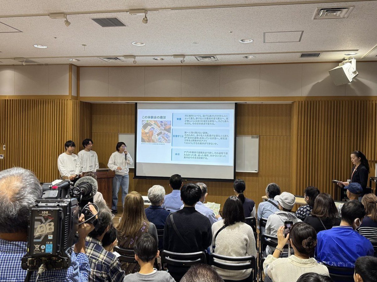
On Saturday, October 31, 2026, we held the Kokoiko Evacuation Drill 2026 at Kanazawa Public Hall and Deiki Park in Yokohama.
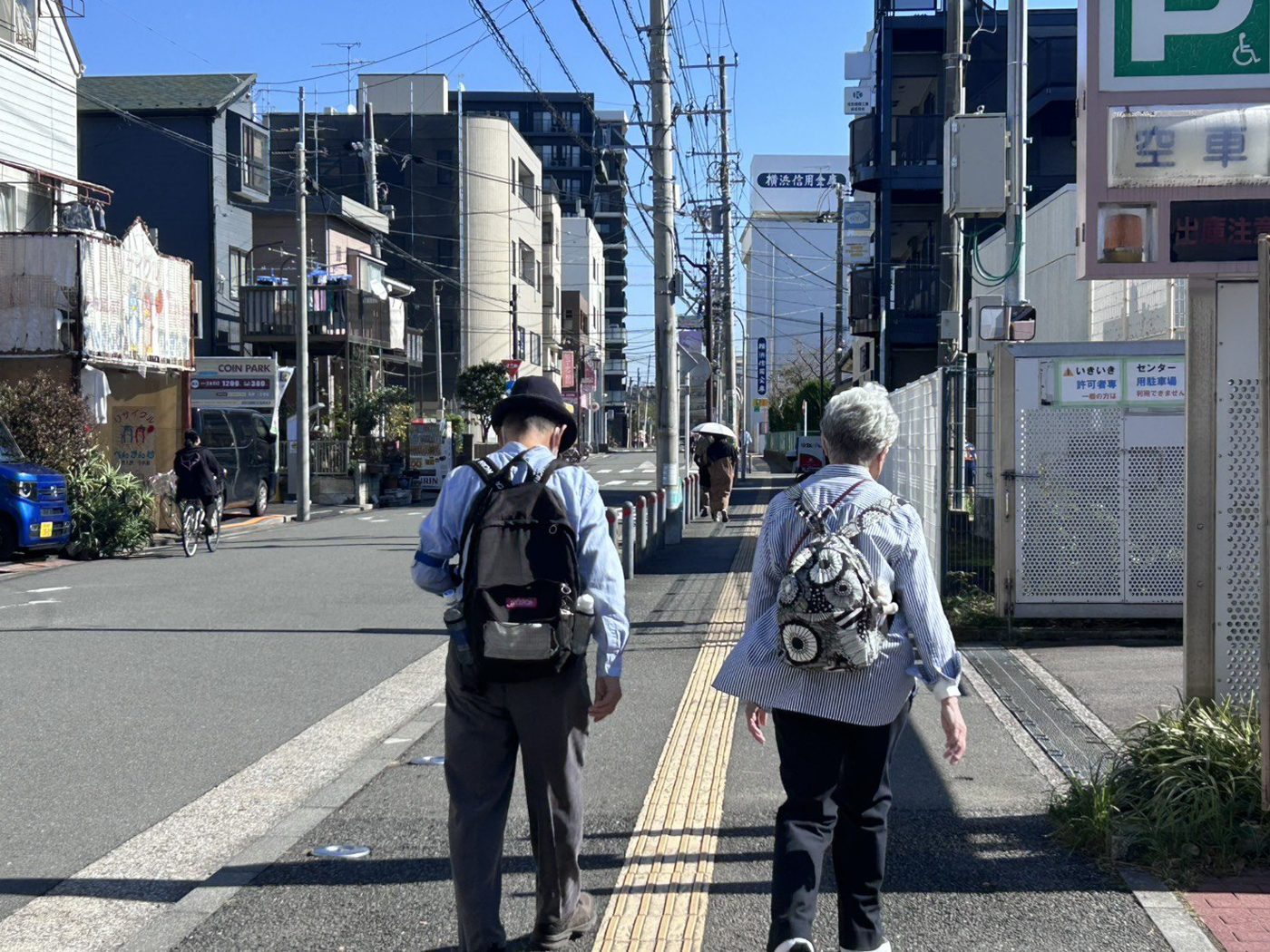
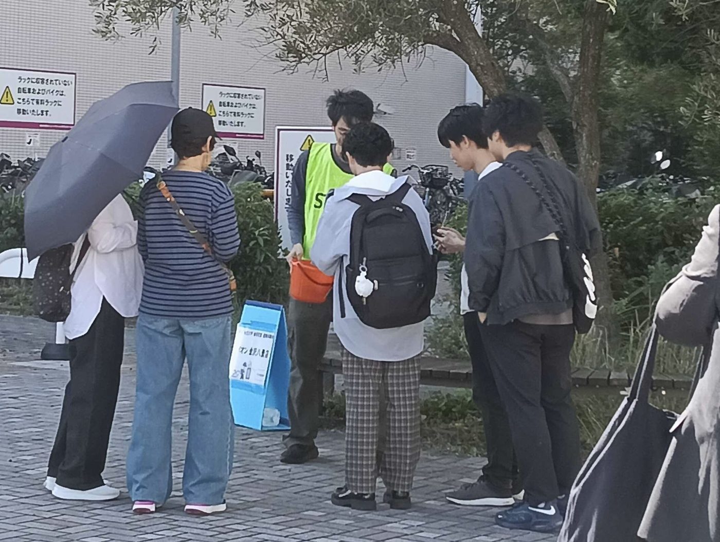
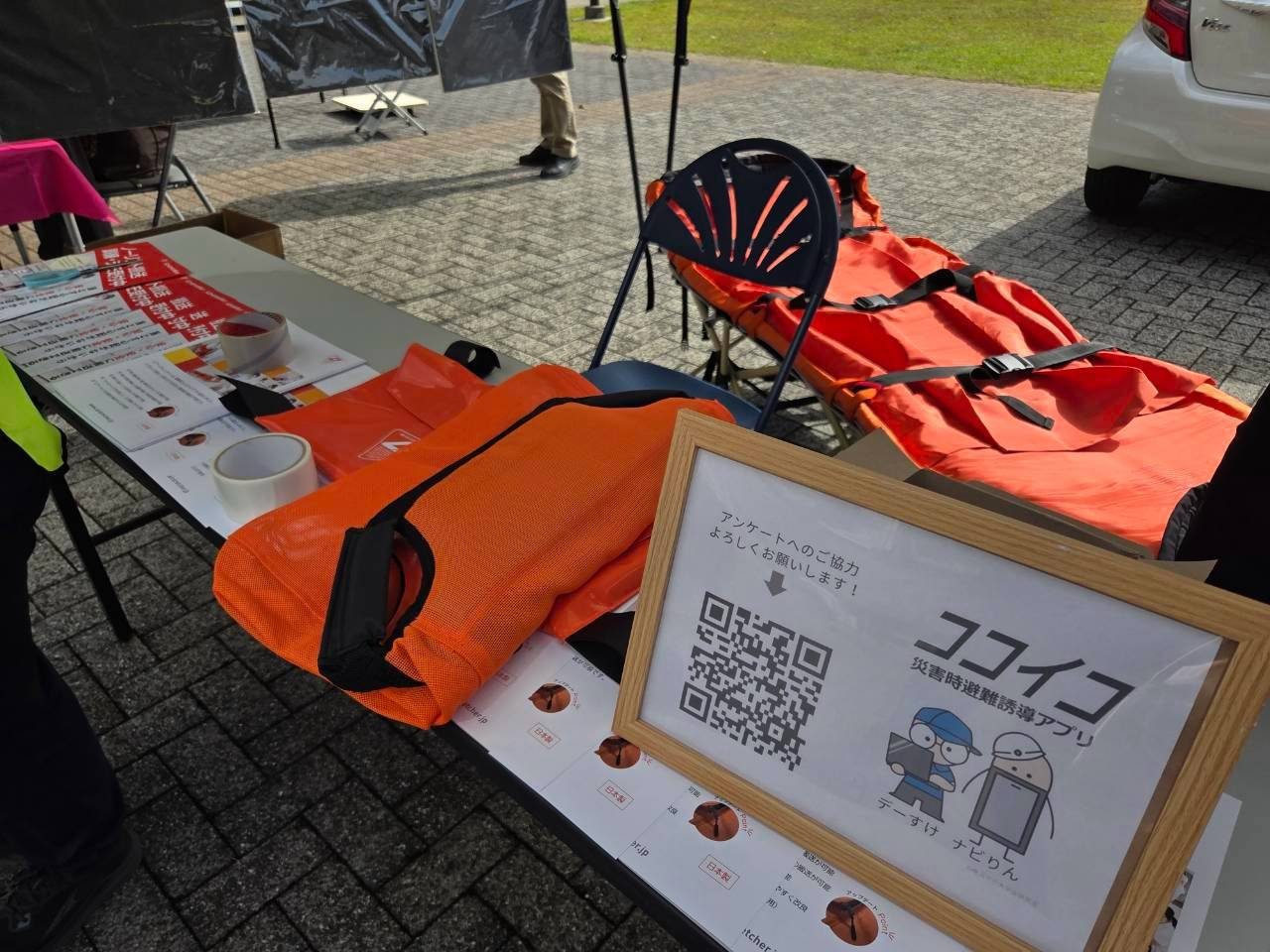
Participants entered their group's situation (stairs, wheelchair use, mobility needs, slopes) into Kokoiko, our evacuation-support web app, and walked to the evacuation site the app recommended. Some groups also experienced a change of destination on the way.
51 people in 29 groups took part, and every group reached its evacuation site. There were no accidents, illnesses or lost participants.
We sincerely thank everyone who took part, and our co-organizer, partners and volunteers.
51
Participants in the drill
29 groups; 57 people registered in advance
100%
Reached their evacuation site
All 29 participating groups checked in
79%
Said the site and route suited them
4 or 5 on a 5-point scale, 33 survey responses
39→52%
Have decided where to evacuate in a tsunami
Before → after the drill, 4 or 5 on a 5-point scale
Overview
- Date
- Saturday, October 31, 2026, 9:30–14:00 (sunny)
- Venue
- Kanazawa Public Hall (check-in and opening) and Deiki Park (start, return and booths), Kanazawa-ku, Yokohama
- Organizer
- Kim Laboratory, School of Data Science, Yokohama City University
- Co-organizer
- Kanazawa Ward Self-help Liaison Council (Jijo-Kana)
- Partners
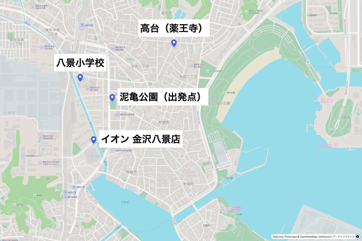
- Kanazawa Ward Office (a pre-event hearing on the ward's evacuation planning); Kanazawa Police Station; evacuation sites: Yakuo-ji Temple, Hakkei Elementary School and AEON Kanazawa-Hakkei; booth partners and a sponsor (listed on the Japanese page)
- Staff
- 17 staff members (faculty, students, lab alumni, Jijo-Kana members and volunteers)
- Program
- A field trial under the Yokohama City University FY2026 Faculty Community Engagement Support Program
Evacuation sites and travel times
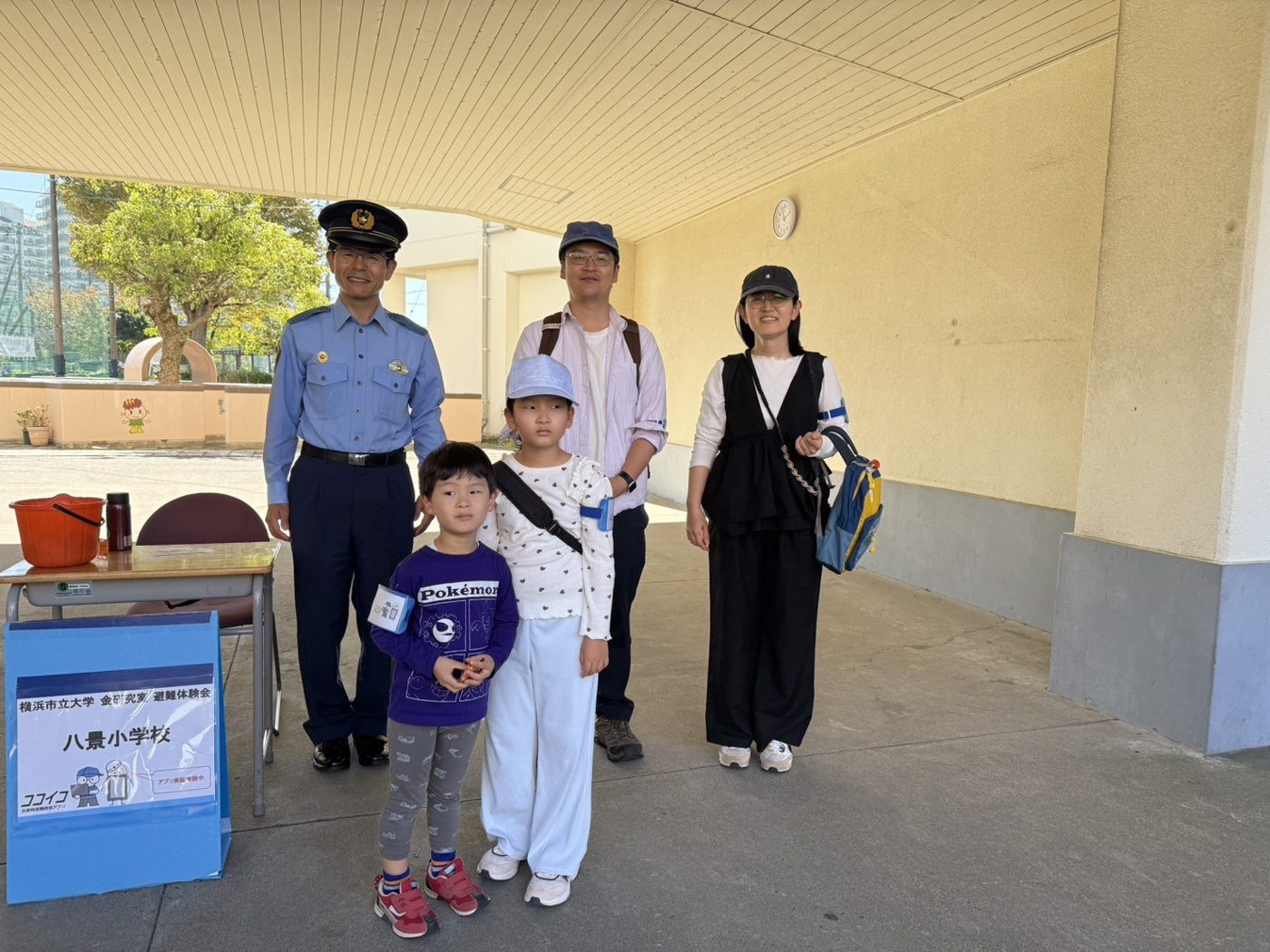
Assuming a tsunami, each group left Deiki Park at 11:00 and followed the app to one of three sites: Yakuo-ji Temple (high ground), Hakkei Elementary School or AEON Kanazawa-Hakkei. Two minutes after the start, groups able to handle slopes and longer walks were rerouted from AEON to Yakuo-ji Temple as a training scenario.
| Site reached | Groups | Arrival | Time from the 11:00 start |
|---|---|---|---|
| AEON Kanazawa-Hakkei Groups matching none of the four input items | 6 | 11:07–11:11 | 7–11 min (median 10) |
| Hakkei Elementary School Groups with someone needing mobility consideration | 10 | 11:10–11:17 | 10–17 min (median 11) |
| Yakuo-ji Temple (direct) Groups with someone who cannot climb stairs | 2 | 11:20–11:21 | 21 min |
| Yakuo-ji Temple (rerouted from AEON 2 min after the start) Groups able to handle slopes and longer walks | 14 | 11:13–11:26 | 13–26 min (median 21) |
| Hakkei Elementary School (chose a site other than the recommended one) Same as above | 1 | 11:15 | 15 min |
- The table covers the 33 groups with check-in records. 29 groups (51 people) took part in the drill; 4 records were submitted in a different format and were not matched to registered groups.
- Times run from the 11:00 start to each group's first check-in. Because check-in was done after arrival with staff guidance, actual arrival was 1–2 minutes earlier.
- The arrival points were for the drill only and differ from the actual places of refuge: the upper floors at Hakkei Elementary School and the 5th-floor rooftop parking at AEON Kanazawa-Hakkei.
- The destinations applied only to this drill's scenario. A different earthquake would mean different destinations.
Survey results
We received 33 responses (about 65% of the 51 participants), answered on smartphones after returning. Responses are per person and include several from the same group.
Have you decided where to evacuate in a tsunami?
n=33, 5-point scale; numbers are respondents
- 1 Not decided
- 2
- 3
- 4
- 5 Decided
How participants rated the guidance
n=33, 5-point scale; numbers are respondents
- 1 Disagree
- 2
- 3
- 4
- 5 Agree
What was hard to follow
19 respondents, multiple answers allowed; top five
- Which way to go or where to turn 7
- Where I currently was 5
- Why the guidance changed 5
- Looking at the phone while walking felt unsafe 5
- The connection dropped 3
Features participants would like
32 respondents, multiple answers allowed; top five
- Whether a facility is open right now 22
- Where family members are 18
- Voice guidance 17
- Works without a connection 14
- Other hazards (heavy rain, floods) 13
Asked about joining the next drill, 19 people (58%) said they would, 14 said it depends on the content, and none said they would not.
Findings
-
Attribute-based guidance was accepted
79% said the site and route suited them and their companions, and nobody said they did not. A group with a wheelchair user, accompanied by a caregiver, reached the stair-free high ground (Yakuo-ji Temple) in 21 minutes. Sidewalk width, steps and slope gradient were raised as issues.
-
How the guidance is shown needs the most work
Only 52% found the guidance easy to follow. The reasons centred on three points: the direction to walk, the current position, and why the guidance changed.
-
Not everyone noticed the change of destination
Groups rerouted on the way arrived at about the same time as those who went directly. However, 4 of the 15 people whose destination changed did not notice the change by themselves. Notifications and a clear reason are needed.
-
The closing session could not be held
Arrival times ranged from 11:07 to 11:26 depending on the site, and the return times spread out even more, so the wrap-up for all participants was not held. The next event will be planned around staggered returns.
Next steps
- Improve the guidance screen: a map oriented to the walking direction, reliable position updates, reasons for recommendations and changes, and sound or vibration alerts
- Survey slopes, stairs and sidewalk widths on foot, and compile data on site conditions, elevation and gradient
- Work with the ward and facilities on a way to reflect whether a site can actually be entered at that moment
- Aim to guide people along pre-registered sites and routes even without a connection
- A drill is planned in Kanazawa Ward in October 2027, with expansion to the Namiki and Sachiura areas under consideration
Contact
For questions about this event or the report, please email us at:
ahyikyokohama-cu.ac.jp
* Displayed in a non-copyable form to prevent spam.
Would your community group, school or workplace like to hold its own drill with Kokoiko? See the call for groups (Japanese) →